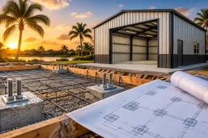

What is a site plan? If you’ve been told you need a site plan for your Florida permit, you’re probably wondering what is a site plan and why it’s required. A site plan is one of the most important documents for obtaining a Florida building permit.
Let me explain it the way I explain it to homeowners every day: a site plan is a bird’s-eye drawing of your property. If you’re still asking what is a site plan, it’s simply a scaled overhead drawing that shows your property layout and proposed construction.
That’s it. It’s drawn from above, it’s to scale, and it shows where everything on your lot is located: your house, your driveway, any existing structures, and the project you want to build. The Florida building department uses it to confirm that your project complies with local zoning rules before issuing a permit.
Site Plan vs. Floor Plan: What’s the Difference?

A floor plan shows the inside of a building, the rooms, walls, doors, and windows.
Understanding what is a site plan helps homeowners see why a site plan focuses on the entire property layout rather than the interior design of a building.
A site plan shows the outside of the entire property, where the building sits, and how far it is from the property lines.
Your Florida permit might require both. The floor plan shows the building department what you’re building. The site plan shows them where you’re building it.
For most residential permits, pools, sheds, decks, and fences, you only need a site plan. Floor plans are typically required for new construction and significant renovations.
What is a site plan vs. a survey?

A licensed land surveyor prepares a survey. It establishes the legal boundaries of your property through field measurements. A survey is a legal document that establishes the location of your property lines.
A site plan uses those boundaries (or data from the county’s GIS records) to show where buildings and structures are positioned on the lot.
You don’t need a survey to get a site plan prepared. We use county GIS parcel data to establish the lot boundaries. If you have a survey, we incorporate it for improved accuracy. But for most Florida permit applications, a survey is not required.
If you’re wondering what is a site plan, it’s important to understand that a survey establishes your property’s legal boundaries, while a site plan uses those boundaries to show where existing and proposed structures are located for permit approval.
What Shows Up on a Florida Residential Site Plan
While requirements vary by county, most Florida site plan requirements follow the same core standards.
If you’re wondering what is a site plan, here’s what appears on a properly prepared Florida residential site plan:
- Property lines with dimensions in feet
- Your house (and any other existing structures)
- Any existing driveway, patio, or hardscape
- Any utility easements on the property
- The project you want to build (shown differently from existing structures)
- Distances from the proposed project to each property line (setbacks)
- North arrow and scale
- Property address and parcel ID
- Flood zone designation
That’s the core. Depending on your specific project and your Florida county, additional elements may be required. See our complete guide to Florida site plan requirements for details by project type.
Why Florida Building Departments Require a Site Plan
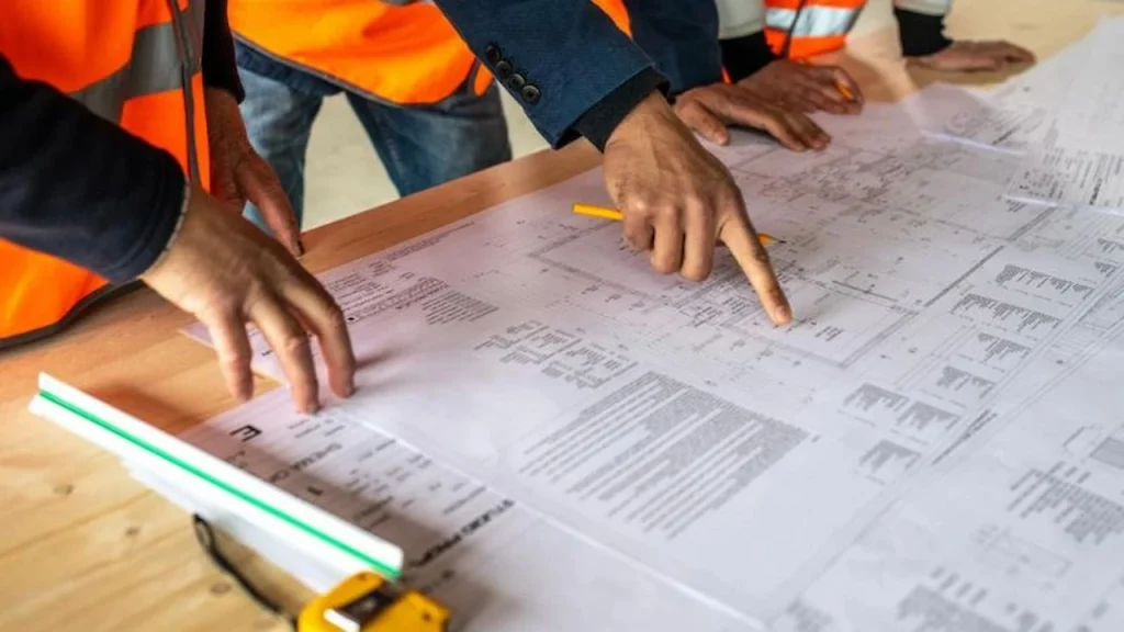
These Florida site plan requirements help building departments verify zoning and permit compliance.
Building departments aren’t asking for a site plan to create paperwork. Understanding what is a site plan also helps explain why Florida building departments require one for most residential permit applications.
They need it to verify three things:
1. Setback compliance: Your zoning district has minimum setback requirements, minimum distances your structures must be from property lines, from other structures, and from easements. The site plan shows the building department that your project respects those setbacks.
2. Impervious surface limits. Many Florida zones limit how much of your lot can be covered by hard surfaces such as roofs, driveways, patios, and pool decks. The site plan (with an impervious surface calculation) shows that your project doesn’t exceed the limit for your property.
3. Flood zone awareness:s A significant portion of Florida is in FEMA flood zones. The site plan labels your flood zone and, in some cases, verifies that the project complies with floodplain management requirements.
Can I Make My Own Site Plan?
If you’re asking what is a site plan and whether you can prepare one yourself, the answer is yes.
But it needs to be accurate, to scale, and properly formatted for your specific county’s submission system. Getting any of those things wrong results in a rejection.
If you’ve never prepared a permit site plan before, the research alone, pulling parcel data, looking up setback requirements, checking flood zone maps, and understanding your county’s format requirements typically takes several hours.
For $79, we do all of that for you and deliver a permit-ready plan within 24 hours.
Use our Permit Drawing Package Finder to see exactly what you need.
The Bottom Line
So, what is a site plan? A site plan is a scaled, overhead drawing of your property that shows your existing structures, proposed construction, and setback dimensions.
It’s required for most Florida building permits. It’s not complicated in concept, but getting the details right matters because a wrong or incomplete site plan will get your permit rejected.